
High-density 3D point clouds and true bare-earth terrain models — capturing the ground even through vegetation, along corridors and over difficult terrain.
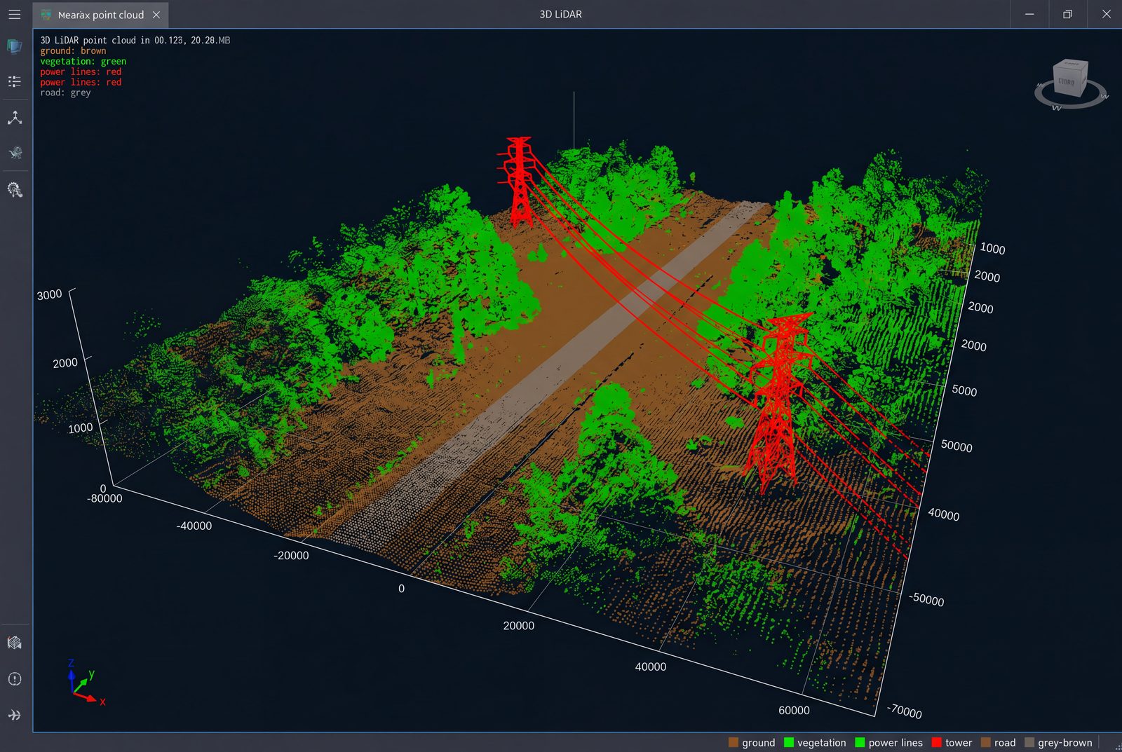
LiDAR fires laser pulses that pass between leaves and branches, so it reconstructs the bare earth where photo-only mapping can't. The result is a dense, classified point cloud and an accurate digital terrain model — ideal for utility corridors, forestry, flood studies and any project where vegetation hides the surface.
Millions of precise 3D points across your site.
Ground surface extracted from under vegetation.
Power lines, roads, canals and railways, kilometre after kilometre.
Clearance and encroachment analysis for utilities.
Canopy height, terrain and volumetrics for environment projects.
Accurate elevation data for watershed and flood studies.
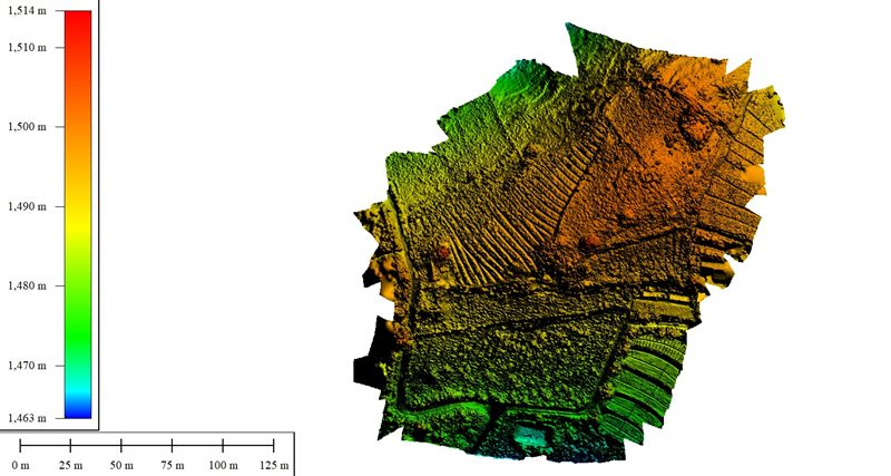 LiDAR DSM / DTM
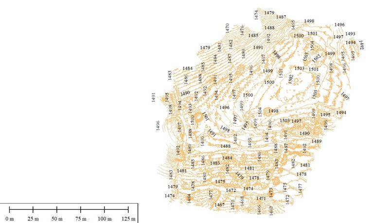 Terrain contours
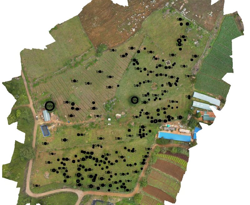 Point-cloud orthomosaic
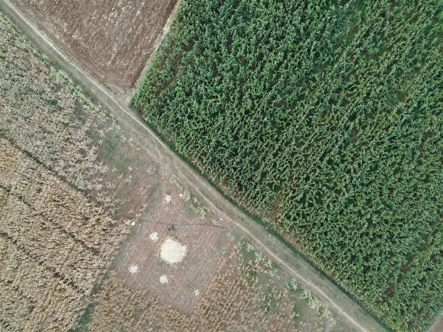 Aerial capture
Tell us the route or area — we'll propose a LiDAR plan and deliverables.